|
HistoryBoracay Island is located off the northwest corner of Panay Island, and belongs to the Western Visayas island-group, or Region VI, of the Philippines. Before the Spanish colonization of the Philippines in the 16th century, Boracay was populated by Ati people. It was known to the Iberian conquerors as Buracay. At the time of contact with the Europeans, Buracay had a population of one hundred people, who cultivated rice on the island and augmented their income by raising goats.
|
|
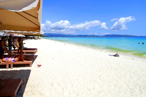
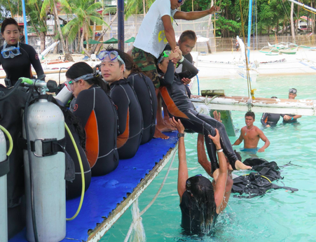
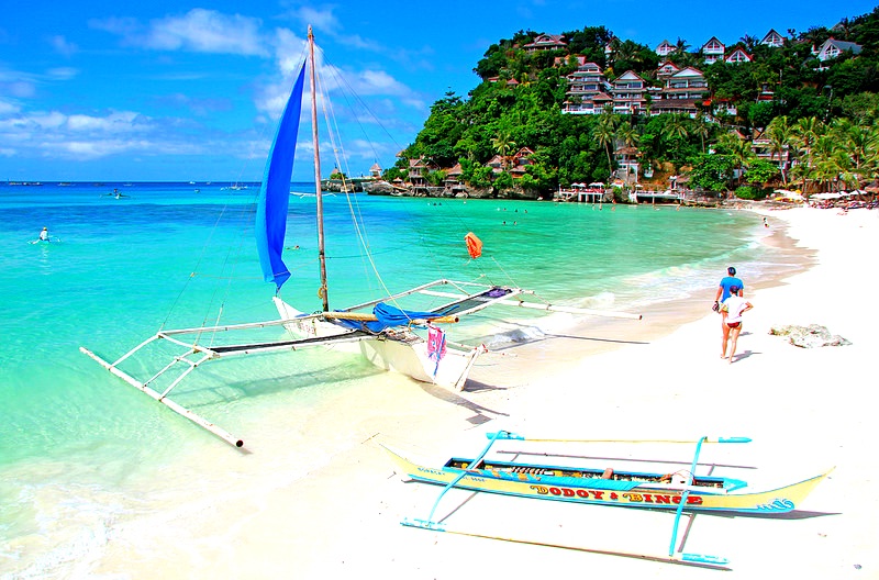
TourismPartly because of its wind and weather patterns, tourism in Boracay is at its peak during the amihan season (which starts in September or October and ends sometime in May or June). During amihan, the prevailing wind blows from the east. Boracay's main tourism area, White Beach, is on the western side of the island and is sheltered from the wind. During the Amihan season, the water off White Beach is often glassy-smooth. On the eastern side of the island, hills on the northern and southern ends of the island channel the Amihan season wind from the east onshore, onto Bulabog Beach in the central part of the island's eastern side. This makes the reef-protected waters off that beach relatively safe[66] and ideal for scuba diving, windsurfing, and kiteboarding / kitesurfing.
|
|
Must Go
|